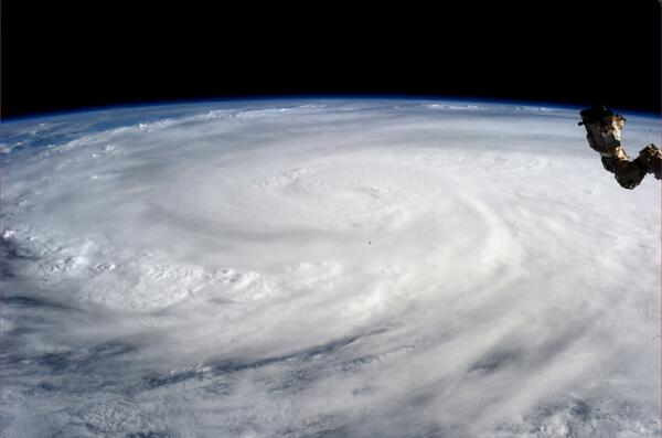
The Dhaka Times Desk Typhoon Haiyan, which recently hit the Philippines, is considered one of the worst storms in history. NASA had been monitoring the typhoon for days before the storm's onset via satellite. Let's see some pictures of that storm.
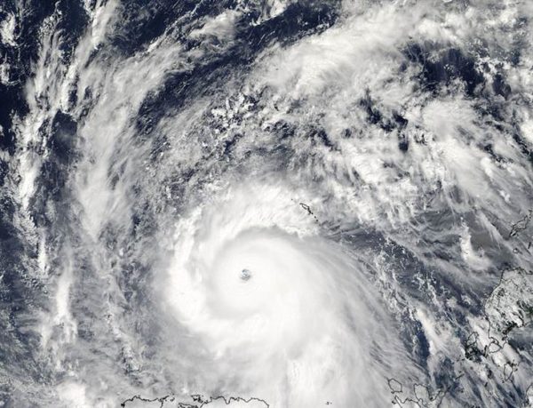
The image you see above is from the Aqua satellite Moderate Resolution Imaging Spectroradiometer (MODIS) Taken with the help of technology, at 12.45 pm local time in the Philippines. This image looks as if Typhoon Haiyan has created its own eye in the swirling shape. At that time, Haiyan's wind speed was 200 miles per hour or 320 kilometers per hour, later it increased to 230 miles or 370 kilometers per hour. 1979 This was the highest speed of any typhoon in years.

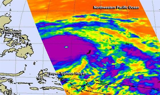
In this picture you can see another technology of Aqua satellite called Atmospheric Infrared Sounder (AIRS) collected infrared images of Typhoon Haiyan in the ocean. At that time, the sea-to-cloud temperature adjacent to Typhoon Haiyan was -63.15 degrees Celsius, with heavy rain accompanied by lightning. NASA has classified Typhoon Haiyan as a Category 5 storm.

A tropical storm is called a typhoon when its wind speed reaches 74 miles per hour. When a normal typhoon's wind speed exceeds 150 miles per hour, it is designated as a category 4 or 5 hurricane, named Typhoon Haiyan.


